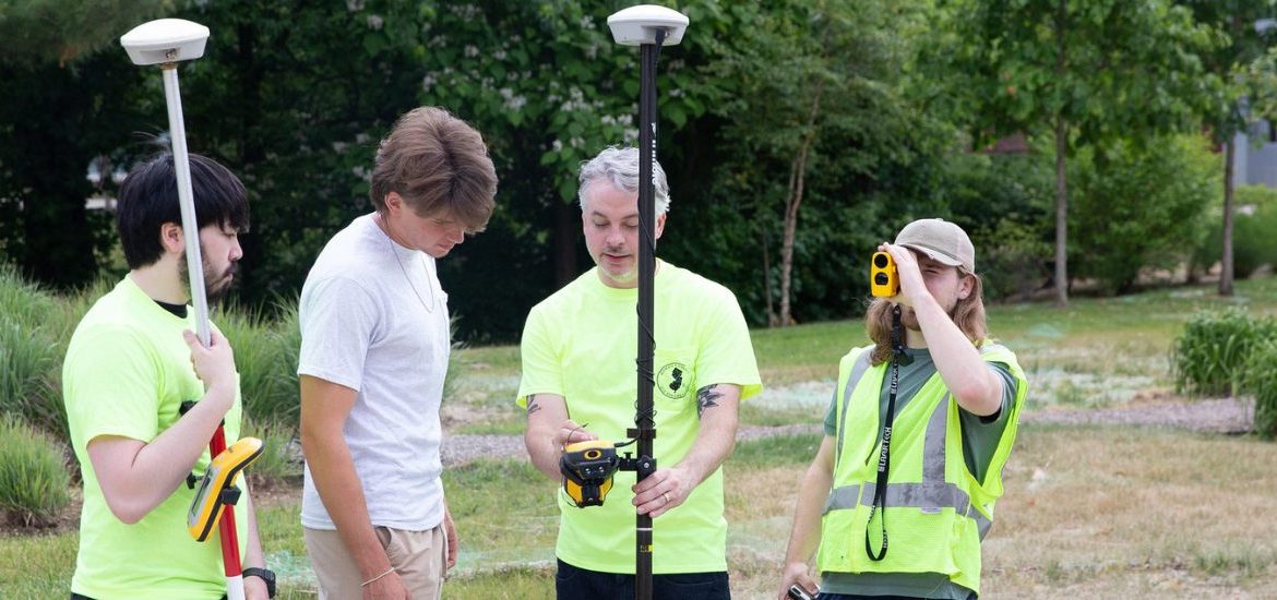
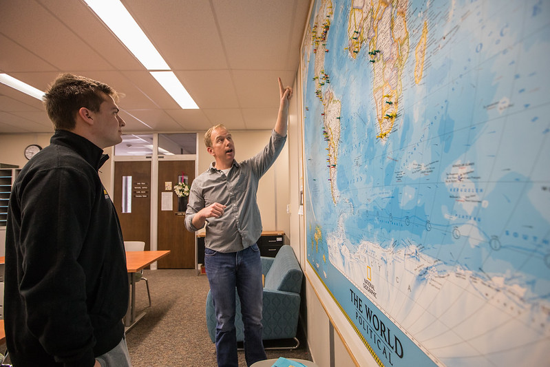
Geographical Information Systems (GIS) majors and graduating seniors, Danielle Miller and Jackie Ganter, give insight into what the GIS major entails and its impact.
What is GIS?
According to Danielle, “geographic information science, it’s the analysis of data sets, the creation of maps, and other imagery.” She went on to give her point of view of why GIS is important, stating, “It’s a basis for a lot of things we use every day, like GPS; it’s used for satellite programs like Google Earth.”
Jackie defined GIS to be, “GIS is geographic information science or systems or studies. It’s basically the science of understanding location and spatial analysis and how things interact with each other spatially. We use a lot of computer science and spatial data to create maps and do statistical analysis and spatial analysis to understand how things interact with each other.”
What is the curriculum like? What are the classes that you take for GIS?
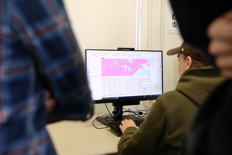
“There’s a variety of different classes where you learn about different programs, different types of data. There’s advanced tools that you start to learn within the program. There’s also remote sensing satellite imagery and the computer science that goes behind it too.” Jackie shared.
Danielle went on to add, “It’s a combination of computer science classes, geography classes, their specific GI classes, where we use the software. And then it’s also, I would say, math classes as well.”
What’s your favorite class?
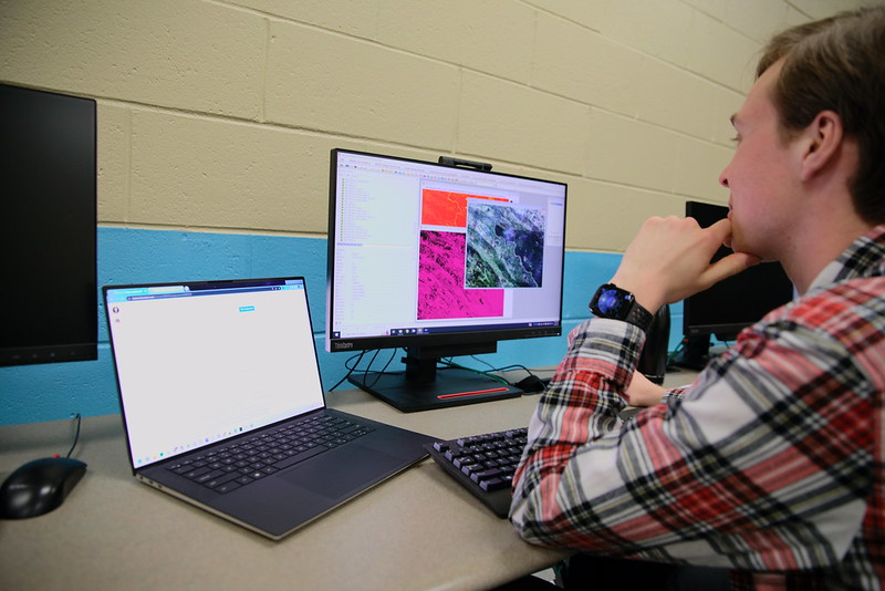
Jackie and Danielle both heartfully named there favorite class at Rowan University to be Remote Sensing, Jackie says, “It’s really interesting learning how satellites work and also seeing how we can sense the changes in the air and how we can sense the changes in land cover over time. It’s pretty cool to be able to have such a large view of the earth from such a small computer.”
Danielle added that she enjoyed the course because it gives students a chance to look at satellite imagery and to see photos being taken in space currently.
What’s the importance of GIS?
Jackie made note to share that GIS has a major impact in ways that many aren’t familiar with, “It has a big impact. It’s a big impact then there’s also climate change and ecosystem science, as well as urbanization and planning. So with urbanization and planning, it’s really important that we have an understanding of how we are impacting the planet and the land around us, making sure that we’re preserving that land that needs to be preserved for the ecosystem and for natural resources and finding places where we can set up cities, transportation. Also from a science perspective, understanding how different ecosystems interact with each other and how they’re impacted based on urbanization through like remote sensing of vegetation changes and water quality.”
What attracted you about the GIS program?
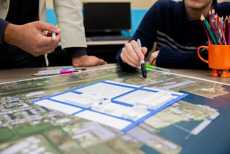
Jackie revealed, ”So I have always been very interested in spatial math. That was kind of one of my stronger suits in school and I also really like creating things. GIS has a lot of map making, which is really fun, especially getting into the cartography of it. You’re learning how to display pretty and nice looking maps that are also informative and have a lot of spatial analysis and math behind it.”
What careers can you do with a GIS degree?
Jackie who will soon be graduating from Rowan gives a look inside the paths you can take with a GIS degree, making it known, “You can go into anything. For example, you can go into crime analysis. Every field has a location topic that you can look into, and we do so many different things, like with social justice in science, in planning, transportation, basically anything you can think of, you can find data for that.”
Danielle also shares what can be next for a GIS student, “So I would say there’s a few different career paths. If you don’t want to be just a specific GI analyst, there’s more out there. You can work for Google or something a similar company like that just creating maps. It also I know a lot of people do GIS go to specifically be cartographers and create maps and stylize them.”
What’s your dream job?
Jackie and Danielle both shared that they have interest in one day working in national parks.
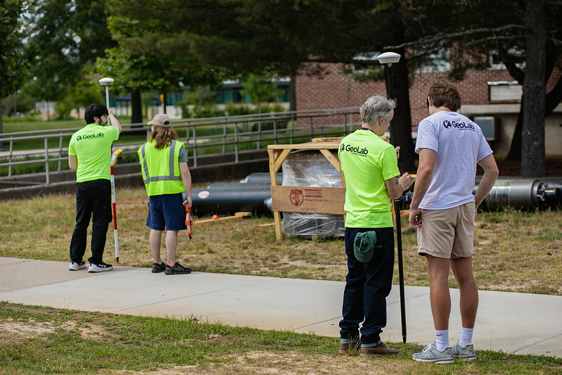
What are the type of internship opportunities that are available to students?
Jackie explained, “There are a lot of outside internship opportunities that professors can help you become aware of. There’s one right now with the National Guard, which looks pretty interesting. We also have one which is through Rowan Geo Labs working with web-based maps of the state. There are different aspects of it that students can help work on. I did some of the agricultural conservation with it, and it’s a great opportunity for GIS students to kind of start working at a professional level.”
Danielle shared her experience, “I did an internship last semester at a recycling plant in Camden where I did a little bit of dry ice work and then also got to see how recycling of certain materials works. I mapped the types of recycling materials coming in, which is mostly asphalt and bricks and stuff, and then the tonnage of that versus the tonnage they already have there.”
Why did you choose Rowan?
Danielle explains the journey that landed her here in Glassboro, “I decided to come to Rowan my sophomore year of college. I transferred here from the University of Pittsburgh. I felt like I wanted a smaller school environment, something where I could have more hands-on learning and with labs and classes. That’s definitely what it is, because there’s only around ten students in each of the classes, which is just what I needed.”
Jackie shared what brought her to Rowan stating, “Personally, I think that Rowan has a very strong program here. There’s a ton of different classes that basically cover almost every aspect of GIS and gives you a variety of different skill sets that you can take into your career. There’s also a lot of opportunities to kind of hone in to what type of data you enjoy and what kind of topics you enjoy. There’s a lot of personal projects you can work on that really help you specialize in what you want to do.”
With the knowledge you gain here at Rowan what impact do you hope to make?
Jackie hopes to, “make an impact in the biodiversity and conservation field. I think understanding the impact of biodiversity loss and urbanization on a global scale is very important. We don’t really think about the widespread changes that are happening and through using GIS we can show that and understand it.”
Danielle looks ahead, “I want to make a positive impact. I hope that with my degree, I can work in an area where they can use gas for conservation or other types of environmental work and studies. I think if I can just better one area, that would be great. I know it’s super hard to be like ‘I want to save the world’ – on a more realistic level that’s why I hope to work in a national park or something like that. I want to focus on one area and then hopefully after that, branch outside and explore different areas and use GIS in different areas.”
Like what you see?

